Kanto
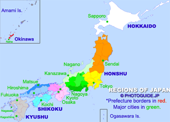
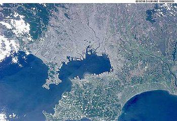
The Kantō region (Japanese: 関東地方, Kantō-chihō) is an area centering on Tokyo on Honshu, Japan's largest island. It also commonly refers to the Kanto Plain which is also the most densely populated area of Japan.
The region consists of seven prefectures: Gunma, Tochigi, Ibaraki, Saitama, Tokyo, Chiba, and Kanagawa.
Other regions of Japan: Hokkaido | Tohoku | Kanto | Chubu (Hokuriku, Koshin'etsu, Tokai) | Kansai | Chugoku (San'yo and San'in) | Shikoku | Kyushu | Okinawa

