 Most viewed Most viewed |
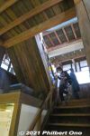
Wooden stairways to go up to the upper floors.5 views
|
|
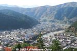
View of Gujo-Hachiman from the castle. Looking south with Yoshida River in the foreground. Miyagase Bridge over Yoshida River can also be seen.5 views
|
|
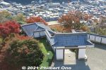
Main gate to the castle tower.5 views
|
|
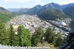
Back view of Gujo-Hachiman. Ono district with Yoshida River on the right. The covered stadium on the right of the river is Sogo Sports Center. (郡上市 総合スポーツセンター)5 views
|
|
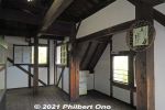
Lower floor in the castle tower.5 views
|
|
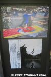
Panel display of local activities on the river.5 views
|
|

The much photographed corner turret.5 views
|
|
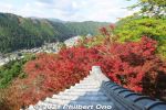
5 views
|
|
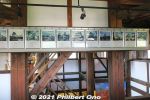
Photo gallery of other castles.5 views
|
|
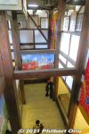
First floor.5 views
|
|
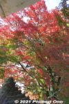
5 views
|
|
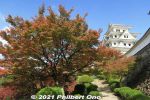
5 views
|
|
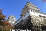
Corner turret and main tower.5 views
|
|
5 views
|
|
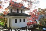
Turret sprinkled with red maple leaves.5 views
|
|
5 views
|
|
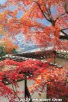
Castle wall and red maples.5 views
|
|
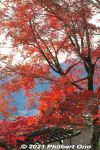
5 views
|
|
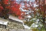
5 views
|
|
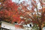
5 views
|
|
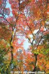
Some leaves on the way back down the mounatin.5 views
|
|
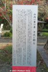
About Chiyo and Kazutoyo in Japanese.5 views
|
|
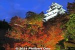
It was kind of tiring to climb up the mountain for the second on the same day to see the evening light-up. But it was worth it. Took 20 min. to take some quick photos before going back down to catch the bus back to Gifu Station.5 views
|
|
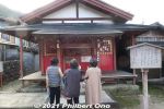
5 views
|
|
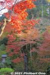
5 views
|
|
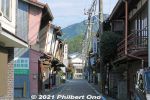
5 views
|
|
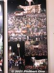
Photos of Gujo Odori.5 views
|
|
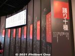
Gujo Odori has ten dance songs. During Gujo Odori, the dances and music go on continuously with live music and singers. So when do the musicians take a break?5 views
|
|
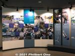
Gujo-Hachiman's natural water sources.5 views
|
|
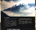
History of Gujo-Hachiman.5 views
|
|
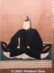
Yamauchi Kazutoyo5 views
|
|
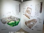
Typical home in Gujo-Hachiman.5 views
|
|
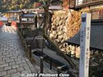
On the right is Sogi natural spring, named after poet Sogi who bid farewell here to the castle lord after visiting Gujo in the 15th century.5 views
|
|

Gate to Chokyoji Temple. 長敬寺5 views
|
|
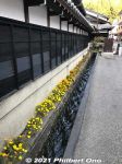
Gutter along the temple's wall.5 views
|
|
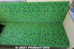
Seats have a gourd design.5 views
|
|

At Kita-Godo Station, these plastic seats look like they are from 1980s shinkansen stations.5 views
|
|
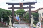
Naminoue Shrine torii. 波上宮 5 views
|
|
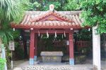
Wash basin at Naminoue Shrine.5 views
|
|
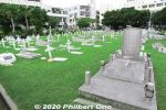
William Board, a sailor from Commodore Perry's crew, is also buried here after he was caught assaulting a local female and was stoned by villagers in 1854. He was drunk and fell into the water and drowned.5 viewsThis occurred while Perry went to Uraga. He had left a few crew in Naha, to be picked up on his return trip. A trial was held for the men who stoned Board. They were punished by being exiled to remote islands including Yaeyama. There's a small gravestone for Board in the cemetery.
|
|
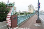
Dragon bridge across Tomari Port.5 views
|
|
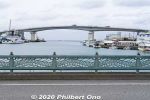
Dragon bridge across Tomari Port.5 views
|
|

Departure info on screen.5 views
|
|

The following photos were taken over 10 years ago. This is Naha Airport's old International Terminal that was a separate building from the Domestic Terminal. It closed in 2014 upon the opening of the new International Terminal. This old terminal is g5 views
|
|
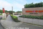
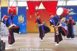
Okinawa World is a fairly large theme park centering on a large underground cavern called Gyokusendo. Above ground, there are attractions featuring Okinawan culture including traditional architecture, traditional crafts, habu snake show, 5 viewsand Eisa drum show. Major tourist attraction in the southern part of Okinawa island.
|
|

Habu's nostril, eyes, and pit.5 views
|
|
The mongoose immediately and hilariously swam through the tube, winning the race hands down.5 views
|
|
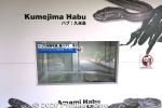
Exhibits of different species of habu. This one is from Kumejima island.5 views
|
|
5 views
|
|

Uezu Residence is the grandest home in the park. Many of the homes are National Tangible Cultural Properties.上州家5 views
|
|
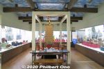
Inside Okinawa Culture Center. Two rooms with glass cases of artifacts.5 views
|
|

5 views
|
|
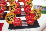
Laughing shisa in the gift shop.5 views
|
|
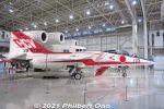
Mitsubishi T-2 Control-Configured Vehicle (CCV) from 1972. Research jet. T-2CCV研究機5 views
|
|

NAL Asuka STOL Research Aircraft was used to experiment with short takeoffs and landings. 低騒音STOL実験機「飛鳥」5 views
|
|

NAL Asuka STOL Research Aircraft 低騒音STOL実験機「飛鳥」5 views
|
|

NAL Asuka STOL Research Aircraft5 views
|
|
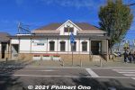
Kakamigahara Shiyakusho-mae Station (Meitetsu Kakamigahara Line) is the closest to Gifu-Kakamigahara Air and Space Museum. Kakamigahara Line runs between Meitetsu-Gifu Station in the city of Gifu with Shin-Unuma Station. 各務原市役所前駅5 views
|
|
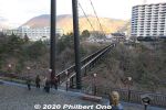
5 views
|
|
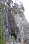
Tateiwa Tunnel. This Tateiwa Rock is considered to be female.5 views
|
|
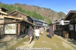
Traditional-looking townscape. Mostly dirt paths. No cars allowed.5 views
|
|
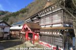
Wakamatsu-ya Theater 5 views
|
|
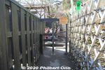
Finally found the exit.5 views
|
|
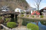
Ryogoku Bridge and canal.5 views
|
|
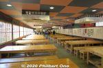
Okariba restaurant. Must be for large tour groups.5 views
|
|
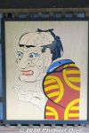
Wood panel in a gift shop.5 views
|
|

At the park's Sekisho checkpoint exit/entrance, large gift shops on the right. It was an interesting theme park. Would take all day to see everything. Something to do in the Kinugawa area. 関所5 views
|
|
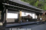
Replica of the Sekisho guardhouse. The park gives people staying at nearby Kinugawa Onsen hot spring something to do during the day. 5 views
|
|

Small gift shop.5 views
|
|

Edo Wonderland Nikko Edomura's official mascot. White cat named Nyanmage, a samurai cat. He also appears in person and walks around the park for photos.5 views
|
|
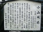
About Koyama Castle. The reconstructed castle is a local museum.5 views
|
|

Bunk beds in Akan-Kohan Youth Hostel. 阿寒湖畔ユースホステル5 views
|
|
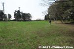
Horinouchi Kaizuka Park is a flat hill where shells, animal bones, and other food waste were discarded by Jomon people 4,000 years ago. "Kaizuka" means "shell mound." 堀之内貝塚公園5 viewsThis hill was also the site of a Jomon Period human settlement 2,500 to 4,000 years ago. A number of excavations were made since 1904 and ancient human remains, pottery, etc., have been found. National Historic Site.
|
|
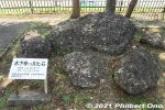
Hardened shell rocks from the ocean 150,000 years ago displayed in Horinouchi Kaizuka Park. These are not shells discarded by humans. 堀之内貝塚公園5 views
|
|
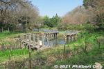
Junsai-ike Ryokuchi green belt park じゅん菜池緑地5 views
|
|
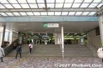
JR Ichikawa Station is the first station in Chiba on the JR Sobu Line.5 views
|
|
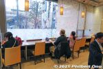
Good number of seats inside Yamazaki Plaza Ichikawa, the coffee shop and bakery operated by Yamazaki Baking.5 views
|
|
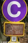
The mound has these alphabetized markers to indicate where the shells are. They form a horseshoe shape (or U shape) on the mound.5 views
|
|
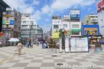
Shin-Koiwa has been transformed into a Moncchichi town. Go to JR Shin-Koiwa Station (JR Sobu Line) and see Moncchichi most everywhere. Outdoor sculptures, manholes, clock tower, escalator handrails, and bus station signs.モンチッチモニュメント5 views
|
|
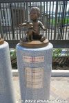
These new Monchicchi/Sekiguchi statues were donated by Sekiguchi Co. chairman Sekiguchi Koichi.5 views
|
|
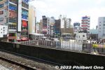
JR Shin-Koiwa Station south side as seen from the platform. 5 views
|
|
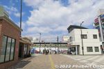
JR Shin-Koiwa Station south entrance straight ahead. Koban police box on the right. A new station building will soon appear.5 views
|
|
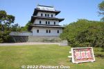
The top floor has good views of the area. This is Matsumae Castle's selfie spot. The main tower was a National Treasure until it was destroyed by fire.5 views
|
|
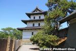
After the Edo Period, much of Matsumae Castle was dismantled except for the main tower which was a National Treasure. Unfortunately, the main tower caught fire from embers from the burning Matsumae Town Hall nearby in 1949.5 views
|
|

View from the top floor of Matsumae Castle's main tower.5 views
|
|

About Chiyonofuji. His sister used to be the museum director.5 views
|
|
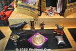
Various awards.5 views
|
|
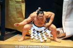
Small statue of Chiyonofuji performing the dohyo-iri ring-entering ceremony.5 views
|
|

Chiyonofuji's yokozuna rope belt.5 views
|
|
5 views
|
|

Roadside scenery on Amami-Oshima island, Kagoshima, Japan.5 views
|
|

Scenic coast on Amami-Oshima island, Kagoshima, Japan.5 views
|
|
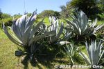
Agave americana 'Marginata' (Variegated Century Plant). Ornamental plant. リュウゼツラン5 views
|
|
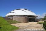
Amami no Sato dome housing the Event Space, Information Space, and General Exhibition Hall.5 views
|
|
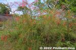
5 views
|
|
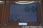
Sample Oshima tsumugi fabric with in the typical black color.5 views
|
|
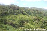
Lots of greenery along the way up the mountains.5 views
|
|
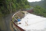
Pretty hairy drive going up the mountain.5 views
|
|
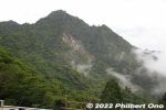
Nice mountain views on Yakushima.5 views
|
|
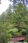
Rinsen-bashi Bridge 林泉橋5 views
|
|
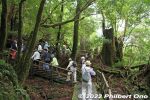
Yakusugi Land tourist hike to see old cedar trees (and stumps) on Yakushima island, Kagoshima.5 views
|
|
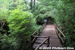
5 views
|
|
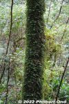
5 views
|
|
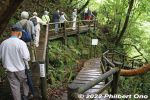
Detour path on the right to see the 1000-year cedar. Didn't have time to see it.5 views
|
|
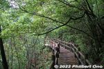
5 views
|
|
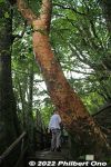
5 views
|
|
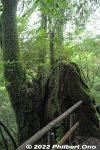
Everything is so artistic. Nature is the greatest artist of all.5 views
|
|
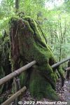
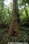
So many things grow on these trees.5 views
|
|
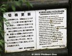
Regenerating on a tree stump. Other plants or trees grow on old trees, like epiphytes. 5 views
|
|
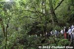
5 views
|
|
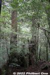
Such a picturesque forest trail. Highly recommended. Best to hike the longer trail (50 min.) though. The 30-min. trail is too short.5 views
|
|
5 views
|
|
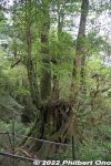
5 views
|
|

Souvenirs made of Yakusugi cedar.5 views
|
|
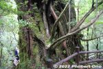
Kigensugi cedar tree also has a short walking path going around the tree, so you can also see the back of the tree (more impressive).5 views
|
|
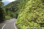
Driving back to town. Lots of ferns on the cliffs.5 views
|
|
Gift shop.5 views
|
|

About Mukojima Hyakkaen Garden in Japanese.5 views
|
|

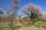
Flowers currently in bloom in the garden.5 views
|
|
5 views
|
|
5 views
|
|
5 views
|
|
5 views
|
|
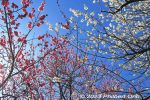
5 views
|
|
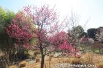
5 views
|
|
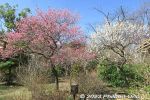
5 views
|
|
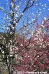
5 views
|
|
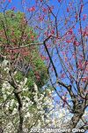
5 views
|
|
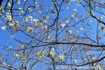
5 views
|
|
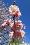
Pink plum blossoms.5 views
|
|
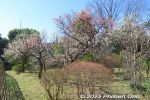
5 views
|
|
Japanese bush clover (hagi) tunnel.5 views
|
|
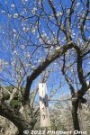
Species name is "Shirokaga."5 views
|
|
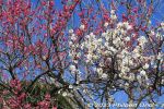
5 views
|
|
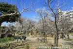
5 views
|
|
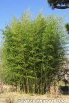
Small bamboo grove.5 views
|
|
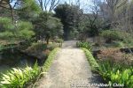
Pond bridge5 views
|
|
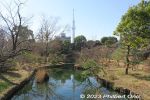
Garden pond is designed as a marsh.5 views
|
|
5 views
|
|
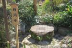
Baido-sui well 梅洞水5 views
|
|
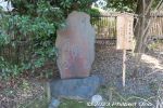
寶屋月彦の句碑5 views
|
|
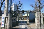
Near Mukojima Garden is Shirahige Shrine in Higashi Mukojima, Sumida-ku, Tokyo. Dedicated to the God of Longevity, it's one of the Sumidagawa Seven Gods of Good Fortune. 白鬚神社5 views
|
|
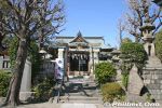
Shirahige Shrine in Higashi Mukojima, Sumida-ku, Tokyo. "Shirahige" literally means "white beard," a sign of old age and longevity. The shrine worships Sarutahiko Ōkami for strength and guidance.5 views
|
|
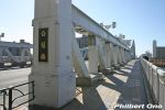
Built in 1931, Shirahige Bridge was named after nearby Shirahige Shrine. Length is 167.6 meters. Amazing that it survived World War II. 白鬚橋5 views
|
|
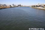
Sumida River from Shirahige Bridge.5 views
|
|
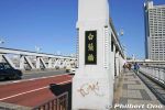
Shirahige Bridge on the Taito Ward end.5 views
|
|
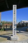
Monument indicating Soka-Matsubara as a Scenic Place on the Oku-no-Hosomichi path.5 views
|
|
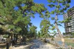
From Hyakutai-bashi Bridge, I first walked north along Soka-Matsubara.5 views
|
|
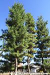
5 views
|
|
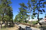
5 views
|
|
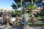
5 views
|
|
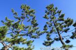
Green pines against the blue sky are therapeutic for the eyes.5 views
|
|
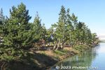
Ayase River5 views
|
|
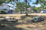
Turtle sculptures.5 views
|
|
5 views
|
|
5 views
|
|
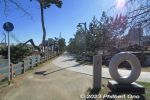
Northern end of Soka-Matsubara. From here, walk 1.5 km to reach the southern end of Soka-Matsubara pine trees.5 views
|
|
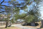
Northern end of Soka-Matsubara.5 views
|
|
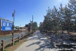
Starting to backtrack to Hyakutai Bridge and proceed to the southern end of the pine trees.5 views
|
|
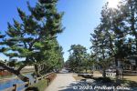
5 views
|
|
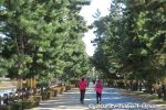
The pine tree path is popular among joggers and for walks.5 views
|
|
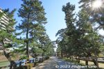
5 views
|
|
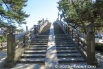
Hyakutai Bridge has steps and a narrow slope for pushing bicycles. Not wheelchair accessible. 百代橋5 views
|
|
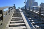
Going up Hyakutai Bridge.5 views
|
|
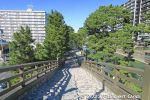
Hyakutai Bridge.5 views
|
|

View from Hyakutai Bridge.5 views
|
|
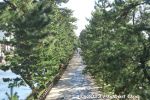
Southern view of Soka-Matsubara pine trees from Hyakutai Bridge, Saitama.5 views
|
|
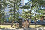
Along the pine tree path is this monument for the Japanese bush clover planted by the late Donald Keene who first visited Soka in 1988 to give a keynote speech at the Oku-no-Hosomichi International Symposium.5 views
|
|
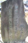
Monument for the Japanese bush clover planted by the late Donald Keene. 5 views
|
|
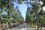
Walking south along Soka-Matsubara pine trees.5 views
|
|
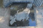
Soka's claim to fame is this pine tree path's inclusion as a Scenic Place along the Oku-no-Hosomichi travel route taken by famous Haiku poet Basho.5 viewsMonument includes a map of Basho's Oku-no-Hosomichi travel route. He started from Fukagawa, Tokyo, visited Soka, went up north to Sendai, Sakata (Yamagata), and proceeded back along the Sea of Japan, Niigata, Kanazawa, Tsuruga, and ended at Ogaki, Gifu. All the places he visited on this epic journey has monuments or statues celebrating Basho.
|
|
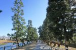
Non-stop pine trees on Soka-Matsubara. Probably the longest pine tree path I've been on.5 views
|
|
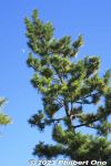
5 views
|
|
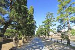
5 views
|
|
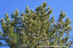
5 views
|
|
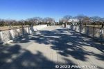
Harp Bridge to Matsubara Ayasegawa Park across Ayase River.5 views
|
|
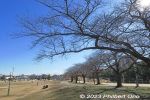
Matsubara Ayasegawa Park's cherry blossoms must be beautiful when in bloom.5 views
|
|
5 views
|
|
5 views
|
|
5 views
|
|
5 views
|
|
5 views
|
|
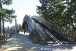
The other arch bridge on the southern end of Soka-Matsubara.5 views
|
|
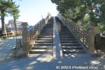
Yatate Bridge includes a narrow slope for walking your bicycle. Not wheelchair accessible. 矢立橋5 views
|
|
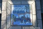
Bicycle slope decorated with these picture tiles.5 views
|
|
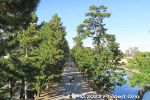
Northern view from Yatate Bridge.5 views
|
|
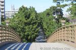
Northern view from Yatate Bridge.5 views
|
|
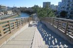
Southern view from Yatate Bridge.5 views
|
|
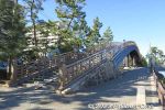
Yatate Bridge on the southern end of Soka-Matsubara. "Yatate" also comes from Basho's prose in Oku-no-Hosomichi. 矢立橋5 views
|
|
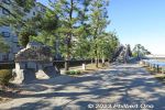
Nikko Kaido Road monument near Yatate Bridge. The monument is in the shape of Saitama Prefecture indicating Soka-Matsubara on Nikko Kaido is one of Japan's 100 Best Roads. 日本の道百選の顕彰碑5 views
|
|
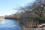
The southern end of Soka-Matsubara has Fudaba-kashi Park with cherry blossom trees and tourist information center. 札場河岸公園5 views
|
|
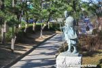
Statue of Matsuo Basho at the southern end of Soka Matsubara pine tree path in Fudaba-kashi Park. Created by Tadahiko Mugikura (麦倉忠彦), a Soka-native sculptor. He also made the Kawai Sora sculpture nearby in 2008.5 views
|
|
Old map of Soka-juku post town.5 views
|
|
Views from the watchtower.5 views
|
|
Way to Tofukuji Temple.5 views
|
|
What the old Nikko Kaido Road looks like today.5 views
|
|
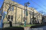
Soka folk history museum is near the old Nikko Kaido. 歴史民俗資料館5 views
|
|

Soka folk history museum. 草加 歴史民俗資料館5 views
|
|

First floor hallway.5 views
|
|
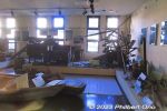
First floor exhibition room displays old farming equipment.5 views
|
|
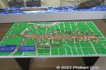
Scale model of Soka-juku post town along the Nikko Kaido. The red tag on the lower left is where the folk history museum is.5 views
|
|
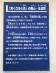
Basho and Kawai Sora visited Soka-juku on March 27, 1689.5 views
|
|
5 views
|
|
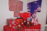
On the 2nd floor, Hinamatsuri Girl's Day dolls.5 views
|
|
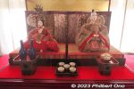
On the 2nd floor, Hinamatsuri Girl's Day dolls.5 views
|
|

5 views
|
|

History of the museum/school.5 views
|
|
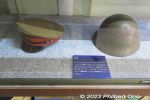
Army helmet5 views
|
|
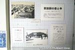
Soka Station history.5 views
|
|
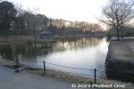
Koga Kubo Park has Gosho-numa Pond. 5 views
|
|
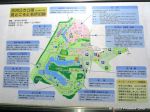
Map of Koga Kubo Park. Large park noted for peach blossoms from late March to early April. Also has irises and lotus in summer. 古河公方公園5 views
|
|
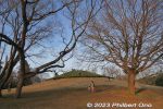
Fujimi-zuka Hill 富士見塚5 views
|
|
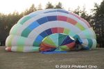
5 views
|
|
5 views
|
|
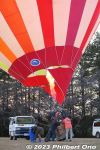
Burner is lit every so often to maintain the hot air.5 views
|
|
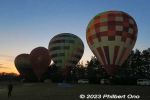
This is how it looks when they are dark.5 views
|
|
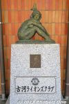
JR Koga Station east entrance sculpture.5 views
|
|
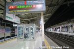
JR Koga Station platform. About 73 min. by train from central Tokyo.5 views
|
|
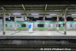
JR Koga Station platform.5 views
|
|
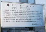
About Kamagaya Daibutsu. In 1972, it was designated as a Cultural Property of Kamagaya.5 views
|
|
Buses to Kamagaya Daibutsu also run from Funabashi Station.5 views
|
|
Kamagaya Hachiman Shrine5 views
|
|
Monuments at Kamagaya Hachiman Shrine.5 views
|
|
Monument for Prince Shotoku Taishi at Kamagaya Hachiman Shrine.5 views
|
|

From Kamagaya-Daibutsu Station, short train ride to Shin-Kamagaya Station.5 views
|
|
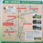
Shin-Kamagaya Station train lines.5 views
|
|
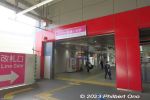
Shin-Kamagaya Station on the Shin-Keisei Line.5 views
|
|

Sights near Lake Teganuma.5 views
|
|

JR Abiko Station turnstile.5 views
|
|
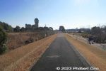
After getting off the bus, walked to Mizu no Yakata.5 views
|
|
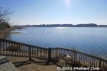
Much of Teganuma has been reclaimed to create rice paddies. It has been split into two bodies of water. The other lake is further south, named Shimotega.5 views
|
|
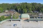
View behind Mizu no Yakata (Water Pavilion) lookout tower.5 views
|
|
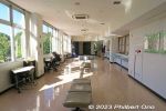
Second floor of Mizu no Yakata is where you can rest.5 views
|
|
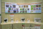
Mizu no Yakata also has a small exhibition room of local wildlife.5 views
|
|
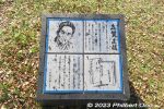
Plaque for novelist Shiga Naoya.5 views
|
|
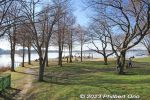
Lake Tega Park's most scenic area. 手賀沼公演5 views
|
|
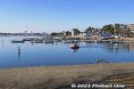
5 views
|
|

5 views
|
|
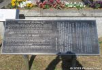
About the Peace monument at Lake Teganuma or Lake Tega Park.5 views
|
|
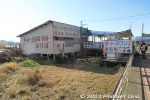
Rental boats at Lake Teganuma.5 views
|
|
Boat rental rates.5 views
|
|
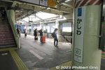
JR Kashiwa Station on the JR Joban Line. Always heard of Kashiwa, but never visited here even though it's close to Tokyo. Finally visited.5 views
|
|
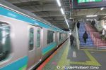
JR Kashiwa Station platform on the JR Joban Line.5 views
|
|
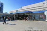
JR Kashiwa Station East exit. 5 views
|
|
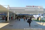
JR Kashiwa Station East exit. 5 views
|
|
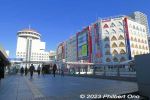
JR Kashiwa Station East exit area has Bic Camera.5 views
|
|
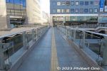
Kashiwa Station pedestrian walkway.5 views
|
|

JR Kashiwa Station East exit area.5 views
|
|
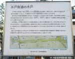
About Mito Kaido Road. Kashiwa was on the Mito Kaido, but not a post town.5 views
|
|

Kashiwa Jinja Shrine. People pray here for abundant harvests, business prosperity, good marriage partner, safe childbirth, academic excellence, marine transportation safety, and more. 柏神社5 views
|
|
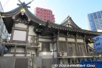
Kashiwa Shrine 柏神社5 views
|
|
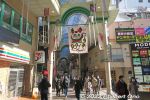
Nibangai Shopping Arcade 二番街商店街5 views
|
|
| 71044 files on 282 page(s) |
 |
 |
270 |  |
 |
|