 Most viewed - CHIBA 千葉県 Most viewed - CHIBA 千葉県 |

47 views
|
|

47 views
|
|

47 views
|
|

Urinal and toilet47 views
|
|
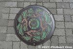
Manhole cover in Ichikawa, Chiba. Pine trees.32 views
|
|
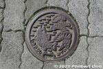
Manhole cover in Ichikawa, Chiba. Pine tree and river fish.32 views
|
|
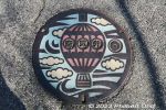
Color manhole in Abiko, Chiba Prefecture.28 views
|
|
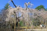
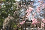
In Ichikawa, Chiba, Guhoji's 400-year-old weeping cherry blossom tree is named "Fushihime Sakura." 伏姫桜26 views
|
|
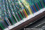
Closeup of a picture made with 126,840 colored toothpicks.25 views
|
|
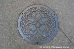
Manhole in Kashiwa, Chiba Prefecture.25 views
|
|
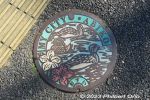
Color manhole in Abiko, Chiba Prefecture. Depicting water fowl on the lake.24 views
|
|
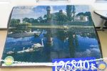
Picture of the lake made with 126,840 colored toothpicks.24 views
|
|
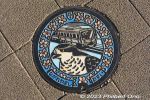
Color manhole in Nagareyama, Chiba. Train and goshawk design.24 views
|
|

Picture made with colored toothpicks.23 views
|
|
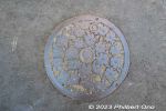
Manhole in Kashiwa, Chiba Prefecture.22 views
|
|
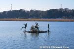
Small sculpture in Lake Teganuma, Abiko, Chiba.20 views
|
|
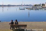
Lake Teganuma, Abiko, Chiba.18 views
|
|
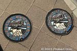
Twin color manholes in Nagareyama, Chiba. Train and goshawk design.18 views
|
|
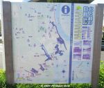
Water & Greenery Corridor (Mizu-to-Midori-no-Kairo) is a semi-urban, hiking trail in the northwestern part of Ichikawa fronting the border with Tokyo along Edogawa River.16 viewsThis part of Ichikawa is dotted with patches, hills, and slithers of small forests, parks, and ponds. This "Corridor" links all this greenery and bodies of water to help protect and preserve the flora and fauna in a coordinated effort by local environmental groups.
This is a map of the trail. Download the official map here: https://www.city.ichikawa.lg.jp/gre01/1111000022.html
|
|
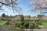
Flowery site of Konodai Castle in Ichikawa, Chiba. No castle buildings. 国府台城跡12 views
|
|
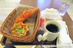
My coffee and pastries at Yamazaki Plaza Ichikawa in the city where Yamazaki-pan was founded. This capped my good day and hike in Ichikawa.12 views
|
|
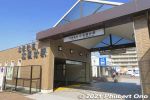
The corridor is 6 km and takes a few hours to walk it between Kita-Kokubun Station (photo) and Konodai Station both in Ichikawa.10 viewsThere are also side treks to other nearby sights. Enjoyable especially when the cherry blossoms are in bloom or during the autumn foliage.
|
|

Small sculpture in Lake Teganuma.9 views
|
|
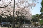
After the small green belt, walk on the street to the Shell Mound. 8 views
|
|
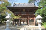
Niomon Gate at the top of the steps, Guhoji's front gate. The two columns house a pair of Nio kings considered to be the protectors of the temple. 仁王門8 views
|
|

About Kamagaya Hachiman Shrine.8 views
|
|
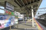
Hokuso Line Shin-Kamagaya Station platform.8 views
|
|
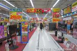
Inside Bic Camera.8 views
|
|
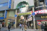
JR Kashiwa Station East exit area arcade.8 views
|
|
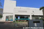
You will pass by the Ichikawa Municipal Museum of History. Free admission, but it was closed when we were there. Horinouchi Kaizuka Shell Mound Park has two museums. 市川歴史博物館7 views
|
|
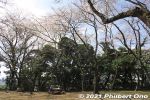
Next is Satomi Park, another large park with different areas. This part is undeveloped and quiet. 里見公園7 views
|
|
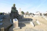
Kamagaya Daibutsu is Japan's smallest Great Buddha bronze statue. Height is 1.8 meter. It has amazingly survived since Nov. 1776 when it was commissioned by local merchant Okuniya Fukuda Bun'emon (大国屋福田文右衛門) to memorialize his 7 views
|
|

Gods worshiped by Kamagaya Hachiman Shrine. They include deities for transportation safety, safe childbirth, and family security.7 views
|
|

Lake Tega was where some Japanese literary figures and celebs had lakeside villas. They included judo founder Kano Jingoro, writer Mushanokoji Saneatsu, novelist Shiga Naoya, and British potter Bernard Leach.7 views
|
|
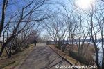
Lake Tega lakeside path is lined with cherry trees. Should be nice in spring, but I visited in winter.7 views
|
|
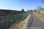
Walking along Lake Teganuma. 7 views
|
|
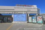
JR Kashiwa Station East exit area.7 views
|
|
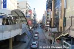
JR Kashiwa Station East exit area.7 views
|
|
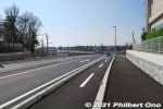
From Kita-Kokubun Station, we walked about 600 meters along this highway until we reached the first green belt.6 viewsLocal environmental groups have been active in trying to preserve and protect the city's nature, but it's an uphill struggle with the encroaching urban development, especially when the Hokuso train line was built through Ichikawa in 1979.
|
|
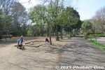
Junsai-ike Ryokuchi green belt park. じゅん菜池緑地6 views
|
|
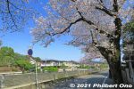
Mama River cherry blossoms in Ichikawa, Chiba.6 views
|
|
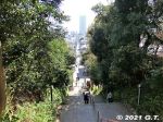
Going down the steps from Guhoji Temple. In the distance, The Towers West skyscraper is visible. The road ahead goes all the way to JR Ichikawa Station.6 views
|
|

Kamagaya Daibutsu was made by sculptor Tagawa Shuzen (多川主膳) in Kanda, Tokyo. It's located in a local cemetery right near Kamagaya-Daibutsu Station on the Shin-Keisei Line.6 views
|
|
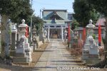
Kamagaya Hachiman Shrine6 views
|
|
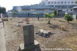
Kamagaya Hachiman Shrine grounds has many tree stumps.6 views
|
|

Kamagaya Hachiman Shrine grounds has many monuments. This one is for the war dead.6 views
|
|
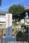
Monument marking Emperor Meiji's 150th anniversary of his birth.6 views
|
|
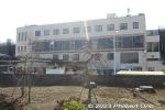
Kamagaya-Daibutsu Station building.6 views
|
|

Kamagaya-Daibutsu Station turnstile.6 views
|
|
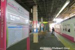
Kamagaya Daibutsu Station platform.6 views
|
|
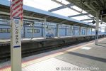
Hokuso Line Shin-Kamagaya Station6 views
|
|

Near JR Abiko Station, there are some sights near Lake Teganuma as shown on this sign in front of JR Abiko Station (JR Joban Line). Lake Tega Park, Bird Museum, and old villa sites.6 views
|
|
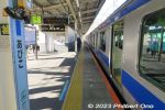
JR Abiko Station is the city of Abiko's main train station in Chiba Prefecture. From Ueno Station, takes about 32 min. to Abiko Station.6 views
|
|
JR Abiko Station6 views
|
|
Outside JR Abiko Station south entrance. 6 views
|
|

Lake Teganuma6 views
|
|
Lake Tega Water Park would have kids playing in the water in summer.6 views
|
|
Lake Tega Water Park 6 views
|
|
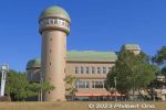
Mizu no Yakata (Water Pavilion) facing Lake Teganuma is a local community center with a local produce market, meeting rooms, and a lookout tower.6 views
|
|
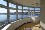
Mizu no Yakata (Water Pavilion) lookout tower in Abiko, Chiba. The lookout deck is round, giving a 360˚ panorama of the surrounding area.6 views
|
|
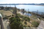
View of Lake Teganuma from Mizu no Yakata (Water Pavilion) lookout tower.6 views
|
|
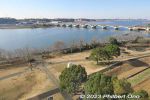
View of Lake Teganuma from Mizu no Yakata (Water Pavilion) lookout tower. Looking toward Tega Ohashi Bridge which first opened in 1964 and expanded to 4 lanes in 2001..6 views
|
|
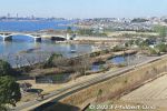
View of Lake Teganuma from Mizu no Yakata (Water Pavilion) lookout tower. Looking toward Lake Tega Park.6 views
|
|
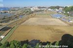
6 views
|
|
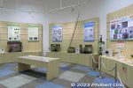
Mizu no Yakata also has a small exhibition room of local wildlife.6 views
|
|
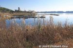
6 views
|
|
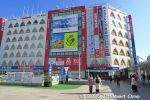
JR Kashiwa Station East exit area has Bic Camera.6 views
|
|
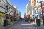
JR Kashiwa Station East exit area.6 views
|
|
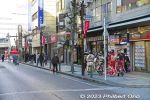
It was Coming of Age Day, so young adults wore kimono.6 views
|
|
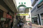
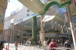
Nibangai Shopping Arcade 二番街商店街6 views
|
|
6 views
|
|
6 views
|
|
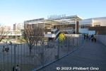
Nagareyama-Otakanomori Shopping Center is connected to the train station with a pedestrian walkway.6 views
|
|
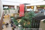
Inside Nagareyama-Otakanomori S.C.6 views
|
|
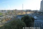
View of Otakanomori Minamiguchi Park.6 views
|
|
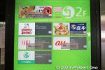
Businesses in the station building's 2nd floor on the east side, but three have closed as of Jan. 2023. The remaining restaurant is a nice place to hang out.6 views
|
|
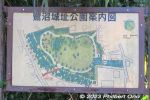
Saginuma Castle Park is the site of both the defunct Saginuma Castle (built during Heian Period, 8th to 12th century) and Saginuma Tumuli or burial mounds. Exact castle construction date is unknown, and not much is known. 6 viewsNo castle structures remain, but there is a small stone coffin on display inside a hut.
|
|
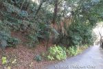
Walk along the right side of the castle park hill until you see steps going up.6 views
|
|
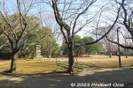
Saginuma Castle Park is a small, flat park ringed with cherry blossom trees. This was in winter.6 views
|
|
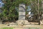
Saginuma Castle was built by a local lord named Saginuma Taro Genta Mitsuyoshi. This is a monument for him. 鷺沼太郎源太光義の碑6 views
|
|
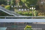
JR Tsudanuma Station south exit has this "Welcome to Tsudanuma" sign.6 views
|
|
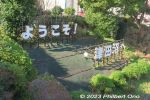
JR Tsudanuma Station south exit has this "Welcome to Tsudanuma" sign.6 views
|
|
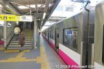
Keisei-Tsudanuma Station platform.6 views
|
|
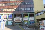
Keisei-Tsudanuma Station building6 views
|
|
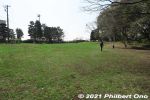
Horinouchi Kaizuka Park is a flat hill where shells, animal bones, and other food waste were discarded by Jomon people 4,000 years ago. "Kaizuka" means "shell mound." 堀之内貝塚公園5 viewsThis hill was also the site of a Jomon Period human settlement 2,500 to 4,000 years ago. A number of excavations were made since 1904 and ancient human remains, pottery, etc., have been found. National Historic Site.
|
|
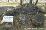
Hardened shell rocks from the ocean 150,000 years ago displayed in Horinouchi Kaizuka Park. These are not shells discarded by humans. 堀之内貝塚公園5 views
|
|
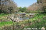
Junsai-ike Ryokuchi green belt park じゅん菜池緑地5 views
|
|
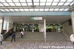
JR Ichikawa Station is the first station in Chiba on the JR Sobu Line.5 views
|
|
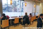
Good number of seats inside Yamazaki Plaza Ichikawa, the coffee shop and bakery operated by Yamazaki Baking.5 views
|
|
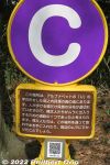
The mound has these alphabetized markers to indicate where the shells are. They form a horseshoe shape (or U shape) on the mound.5 views
|
|
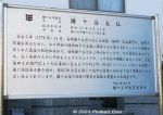
About Kamagaya Daibutsu. In 1972, it was designated as a Cultural Property of Kamagaya.5 views
|
|
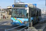
Buses to Kamagaya Daibutsu also run from Funabashi Station.5 views
|
|
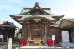
Kamagaya Hachiman Shrine5 views
|
|
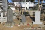
Monuments at Kamagaya Hachiman Shrine.5 views
|
|
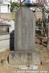
Monument for Prince Shotoku Taishi at Kamagaya Hachiman Shrine.5 views
|
|
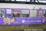
From Kamagaya-Daibutsu Station, short train ride to Shin-Kamagaya Station.5 views
|
|
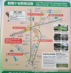
Shin-Kamagaya Station train lines.5 views
|
|
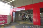
Shin-Kamagaya Station on the Shin-Keisei Line.5 views
|
|

Sights near Lake Teganuma.5 views
|
|

JR Abiko Station turnstile.5 views
|
|
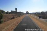
After getting off the bus, walked to Mizu no Yakata.5 views
|
|
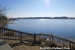
Much of Teganuma has been reclaimed to create rice paddies. It has been split into two bodies of water. The other lake is further south, named Shimotega.5 views
|
|
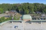
View behind Mizu no Yakata (Water Pavilion) lookout tower.5 views
|
|
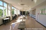
Second floor of Mizu no Yakata is where you can rest.5 views
|
|
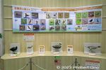
Mizu no Yakata also has a small exhibition room of local wildlife.5 views
|
|
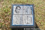
Plaque for novelist Shiga Naoya.5 views
|
|
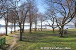
Lake Tega Park's most scenic area. 手賀沼公演5 views
|
|
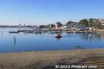
5 views
|
|

5 views
|
|
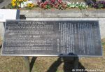
About the Peace monument at Lake Teganuma or Lake Tega Park.5 views
|
|
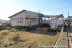
Rental boats at Lake Teganuma.5 views
|
|
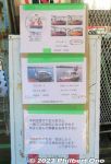
Boat rental rates.5 views
|
|
JR Kashiwa Station on the JR Joban Line. Always heard of Kashiwa, but never visited here even though it's close to Tokyo. Finally visited.5 views
|
|
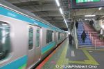
JR Kashiwa Station platform on the JR Joban Line.5 views
|
|
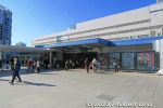
JR Kashiwa Station East exit. 5 views
|
|
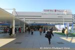
JR Kashiwa Station East exit. 5 views
|
|
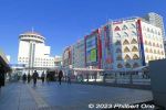
JR Kashiwa Station East exit area has Bic Camera.5 views
|
|
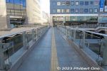
Kashiwa Station pedestrian walkway.5 views
|
|

JR Kashiwa Station East exit area.5 views
|
|
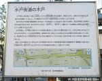
About Mito Kaido Road. Kashiwa was on the Mito Kaido, but not a post town.5 views
|
|

Kashiwa Jinja Shrine. People pray here for abundant harvests, business prosperity, good marriage partner, safe childbirth, academic excellence, marine transportation safety, and more. 柏神社5 views
|
|
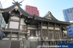
Kashiwa Shrine 柏神社5 views
|
|
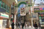
Nibangai Shopping Arcade 二番街商店街5 views
|
|
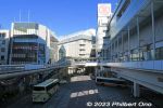
Kashiwa Station west exit area.5 views
|
|
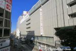
Kashiwa Station west exit area also has department stores like Takashimaya.5 views
|
|
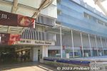
Kashiwa Station west exit area.5 views
|
|
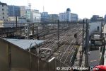
5 views
|
|
Tobu Line Kashiwa Station platform.5 views
|
|
Tobu Line Kashiwa Station platform.5 views
|
|
It's also on the Tobu Urban Park Line (Tobu Noda Line) running between Chiba and Saitama Prefectures. Nagareyama's largest train station.5 views
|
|
The station's name translates as "Nagareyama goshawk forest." It was a nod to Nagareyama's forest being a habitat for the endangered northern goshawk (ōtaka).5 views
|
|
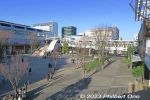
Nagareyama-ōtakanomori Station opened when Tsukuba Express started running on August 24, 2005.5 views
|
|
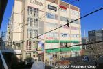
Life Garden building with a family restaurant connected to Nagareyama Otakanomori Station east side.5 views
|
|
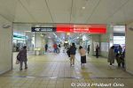
Way to Tsukuba Express.5 views
|
|
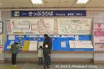
Tobu Urban Park Line ticket machines.5 views
|
|
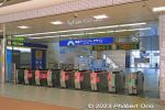
Nagareyama Otakanomori Station Tobu Urban Park Line turnstile.5 views
|
|
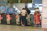
Nagareyama Otakanomori Station Tobu Urban Park Line turnstile.5 views
|
|
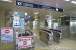
Tsukuba Express turnstile at Nagareyama Otakanomori Station.5 views
|
|
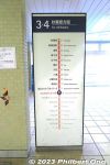
Tsukuba Express stations from Nagareyama Otakanomori Station.5 views
|
|
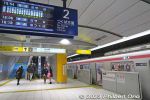
Tsukuba Express Akihabara Station.5 views
|
|
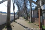
Saginuma Castle Park is a 10 to 15-min. walk from Keisei-Tsudanuma Station. Near Narashino City Hall. Map: https://goo.gl/maps/xkw1vc8j4ze96tyT75 views
|
|
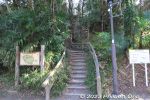
Steps to go up Saginuma Castle Park. The hill is 18 meters high.5 views
|
|
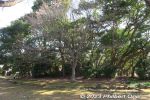
Mound A tumulus (A号墳) at Saginuma Castle Park.5 views
|
|
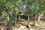
Mound A tumulus (A号墳) at Saginuma Castle Park has a small torii.5 views
|
|
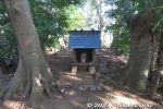
Mound A tumulus (A号墳) at Saginuma Castle Park. Local nobility was buried here during the 6th century. There's now a small shrine.5 views
|
|
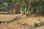
Mound B and stone coffin hut.5 views
|
|
5 views
|
|
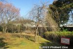
Weeping cherry trees.5 views
|
|
5 views
|
|
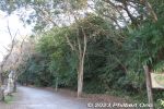
Walking back to the train station along the side of the park.5 views
|
|
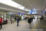
JR Tsudanuma Station.5 views
|
|
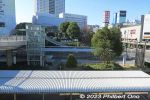
JR Tsudanuma Station south exit.5 views
|
|
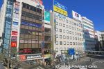
JR Tsudanuma Station north side is busier than the south side.5 views
|
|
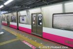
Shin-Tsudanuma Station platform.5 views
|
|
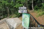
For the most part, the trail has signage in both Japanese and English. We soon got to some greenery called Horinouchi Ryokuchi green belt. There's this fork in the trail. Go left to see the shell mound in Horinouchi Kaizuka Park.4 views
|
|
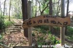
Horinouchi Ryokuchi green belt. 堀之内緑地4 views
|
|
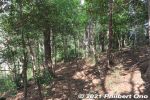
Horinouchi Ryokuchi green belt. 堀之内緑地4 views
|
|
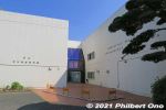
The other museum in the park is the Ichikawa Archaeology Museum displaying shell mound remains as old as 3,000 years (Jomon Period). Pottery & human remains found here are also exhibited. Good to have this museum next to the shell mound. 市川考古�4 views
|
|
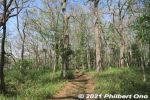
Walking through Horinouchi Kaizuka Shell Mound, larger than what meets the eye. The shell mound's immediate area was the ocean shallows where it was easy to harvest shellfish.4 views
|
|
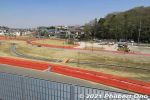
Kozuka-yama Park was still under construction. 小塚山公園4 views
|
|
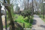
Follow the sign to Konodai Ryokuchi green belt.4 views
|
|
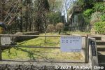
Sawara Park, we walked through here.4 views
|
|
4 views
|
|
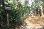
Follow the sign.4 views
|
|

Rules for using Junsai-ike Ryokuchi Park. No bicycle riding, dogs must be leashed, etc.4 views
|
|
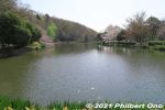
Junsai-ike Pond じゅん菜池4 views
|
|
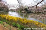
Cherry blossoms along Junsai-ike Pond.4 views
|
|
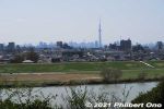
Edogawa River and Tokyo Skytree as seen from Satomi Park.4 views
|
|
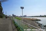
江戸川沿い4 views
|
|
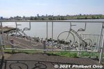
Bicycle art on Edogawa River.4 views
|
|
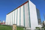
Near the Ichikawa Sekisho Checkpoint is a Yamazaki Baking (山崎製パン) research and training facility ("Creation Center"). Yamazaki is the world's second largest bread-baking company. Founded in Ichikawa, Chiba in 1948.4 views
|
|
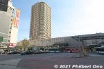
JR Ichikawa Station on the JR Sobu Line. The skyscraper is The Towers East.4 views
|
|
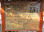
Map in front of JR Ichikawa Station showing another hiking route.4 views
|
|
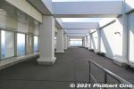
The 45th floor of The Towers West building is named "I-Link Town Observatory." It's a panoramic lookout deck on all four sides of the building. Free admission. This is open-air. If it's raining, there's also an indoor lookout deck4 views
|
|
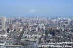
Looking east toward Chiba. The JR Sobu Line tracks can be seen on the left going to Moto-Yawata Station.4 views
|
|
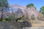
In spring, Guhoji's 400-year-old weeping cherry blossom tree is famous. 伏姫桜4 views
|
|
4 views
|
|
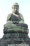
Kamagaya Daibutsu is Shakyamuni Buddha (Shaka Nyorai). The statue is still owned and maintained by the Fukuda family. It's a longtime symbol of Kamagaya, Chiba Prefecture. Free to visit.4 views
|
|
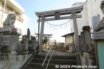
Across of Kamagaya Daibutsu Buddha is Kamagaya Hachiman Shrine.4 views
|
|

Kamagaya Hachiman Shrine torii.4 views
|
|
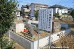
Dismantled torii.4 views
|
|
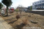
Don't know why the land has been cleared of trees.4 views
|
|
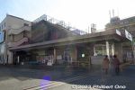
Kamagaya-Daibutsu Station on the Shin-Keisei Line.4 views
|
|
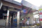
Kamagaya-Daibutsu Station on the Shin-Keisei Line.4 views
|
|
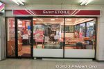
Kamagaya-Daibutsu Station cafe. Nice place for a coffee break or lunch with views of Kamagaya Hachiman Shrine.4 views
|
|
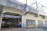
Shin-Kamagaya Station on Hokuso Line.4 views
|
|
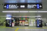
4 views
|
|
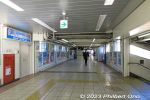
JR Abiko Station corridor.4 views
|
|
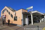
JR Abiko Station south entrance. 4 views
|
|
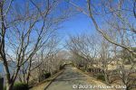
4 views
|
|
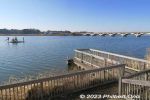
4 views
|
|
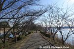
4 views
|
|
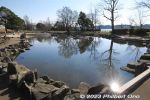
Lake Tega Water Park 4 views
|
|
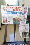
About the picture made with 126,840 colored toothpicks.4 views
|
|
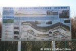
Lakefront construction.4 views
|
|
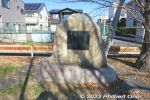
4 views
|
|
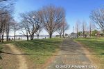
Lake Tega Park 手賀沼公演4 views
|
|
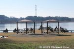
4 views
|
|
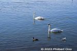
Swans and ducks on Lake Teganuma.4 views
|
|
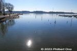
Lake Teganuma 4 views
|
|
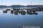
Lake Teganuma has rental boats.4 views
|
|
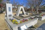
Peace monument at Lake Teganuma or Lake Tega Park.4 views
|
|
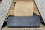
Peace monument at Lake Teganuma or Lake Tega Park.4 views
|
|

JR Kashiwa Station turnstile.4 views
|
|
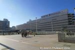
JR Kashiwa Station East exit. 4 views
|
|
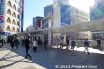
JR Kashiwa Station East exit area.4 views
|
|
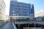
JR Kashiwa Station East exit area has Marui.4 views
|
|
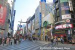
JR Kashiwa Station East exit area.4 views
|
|
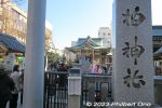
Kashiwa Shrine, near Kashiwa Station east exit. Worships several different gods. 柏神4 views
|
|
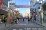
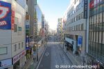
Streets near Kashiwa Station east side.4 views
|
|
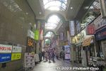
Nibangai Shopping Arcade 二番街商店街4 views
|
|
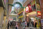
Nibangai Shopping Arcade 二番街商店街4 views
|
|
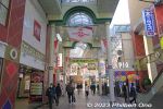
Nibangai Shopping Arcade 二番街商店街4 views
|
|
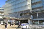
Kashiwa Station west exit area.4 views
|
|

Tobu Line (Urban Park Line or Noda Line) Kashiwa Station turnstile.4 views
|
|
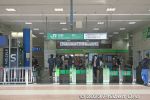
JR Kashiwa Station turnstile.4 views
|
|
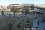
Like Kashiwa Station two stops away, Nagareyama-ōtakanomori Station has become a major shopping area with numerous shops in large mall named "Nagareyama-Otakanomori S.C."4 views
|
|
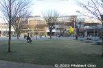
The city does have a Nagareyama Station on the Nagareyama Line, but it's small. The city's center of gravity has shifted to Nagareyama-ōtakanomori Station where all this was once farmland.4 views
|
|
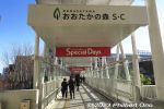
Pedestrian walkway from the train station to Nagareyama-Otakanomori S.C. (Shopping Center).4 views
|
|
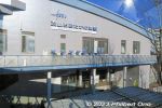
Tobu Nagareyama-ōtakanomori Station4 views
|
|
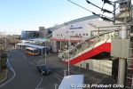
Nagareyama Otaka-no-Mori Station east exit.4 views
|
|
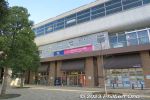
Shops under Nagareyama Otakanomori Station tracks.4 views
|
|
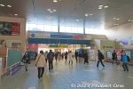
Exiting from Tobu Line.4 views
|
|
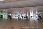
The station has this large covered area leading to station platforms and exits.4 views
|
|
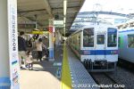
Nagareyama Otakanomori Station platform on the Tobu Urban Park Line.4 views
|
|
4 views
|
|
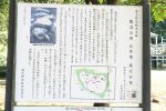
Mound B (B号墳) had two stone coffins. Although one coffin was destroyed, the other remains intact. Now protected by a hut. The stone coffin contained the remains of two adults, 4 views
|
|
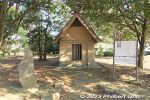
Mound B tumulus (B号墳) at Saginuma Castle Park. Hut preserving a stone coffin. B号墳の箱式石棺4 views
|
|
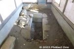
Stone coffin in Mound B is 2 meters long, 0.8 meter wide, and 0.7 meter deep. The stones came from southern Chiba Prefecture and shaped with metallic tools. The coffin was covered with large stones. B号墳の箱式石棺4 viewsThe remains of two adult males were found in the coffin in 1966. Chokutō sword fragments, ancient jewelry, arrowheads, and small knife were also found.
|
|
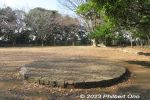
Remains of a natural gas well.4 views
|
|
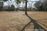
Park has a lot of space to run around.4 views
|
|
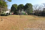
Park includes playground equipment for kids.4 views
|
|
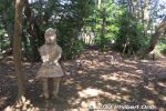
Pieces of haniwa sculptures were dug up and the park has two replicated Naniwa statues. One human and one horse. Unknown what the original haniwa actually looked like.4 views
|
|
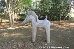
Horse haniwa statue (replica).4 views
|
|
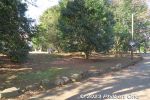
Walking around the burial mound.4 views
|
|
The burial mounds have stones along the perimeter.4 views
|
|
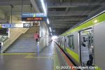
JR Sobu Line train at JR Tsudanuma Station.4 views
|
|
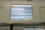
There are three train stations with the same "Tsudanuma." Tsudanuma is a major bedroom town for Tokyo. This is JR Sobu Line train whose next stop is Tsudanuma. 4 views
|
|
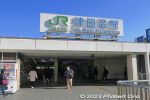
JR Tsudanuma Station south exit. JR津田沼駅4 views
|
|
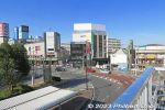
JR Tsudanuma Station 4 views
|
|
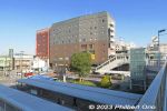
4 views
|
|
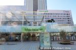
JR Tsudanuma Station south exit has Morisia Tsudanuma shopping mall. モリシア津田沼 4 views
|
|
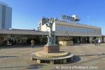
JR Tsudanuma Station north exit.4 views
|
|
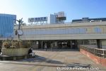
JR Tsudanuma Station north exit.4 views
|
|
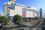
JR Tsudanuma Station north side had Tsudanuma PARCO which closed on Feb. 28, 2023. 津田沼パルコ4 views
|
|

Leaving JR Tsudanuma Station north exit.4 views
|
|
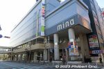
Shopping mall connected to Shin-Tsudanuma Station on the Shin-Keisei Line.4 views
|
|
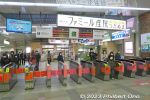
Shin-Tsudanuma Station turnstile on the Shin-Keisei Line.4 views
|
|
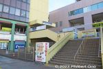
Keisei-Tsudanuma Station4 views
|
|
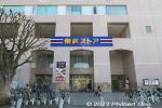
Tobu Store supermarket near Keisei-Tsudanuma Station.4 views
|
|
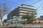
Narashino City Hall is a 10-min. walk from Keisei-Tsudanuma Station. 習志野市役所4 views
|
|
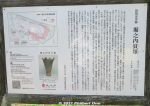
It's hard to discern, but Horinouchi Kaizuka Shell Mound is as long as 225 meters and 100 meters wide. 3 viewsPink portion in the diagram on the upper left shows where the shells, animal bones (mostly boar and deer) and other food waste were tossed on the hillsides during 4,000 to 2,500 years ago (Jomon Period). They form a horseshoe shape on the hill.
The mound was a central feature of the Jomon Period cluster of homes in this area. Since the late 19th century (Meiji Period), many digs and research on this shell mound have been conducted by archaeologists. However, there are still unknown things about mound.
|
|
| 1947 files on 8 page(s) |
 |
 |
 |
 |
7 |
|